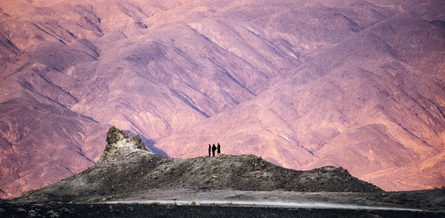
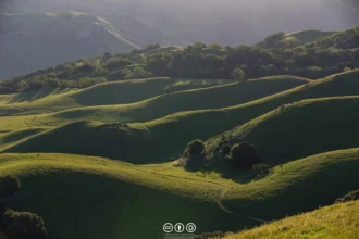
While tourists fight for parking at Santa Monica Pier, real Californians are descending unmarked cliffs and paddling across bays to reach shores that feel like 1985.
- Why California’s Secret Beaches Matter More Than Ever
- 1. Hidden Beach (Klamath) — The Redwood Secret
- 2. Bowling Ball Beach (Point Arena) — The Tide Clock Rules
- 3. Marshall’s Beach (Point Reyes) — The Kayaker’s Secret
- 4. Garrapata Beach & Calla Lily Valley — Big Sur’s Open Secret
- 5. Pfeiffer Beach — Purple Sand & The Keyhole
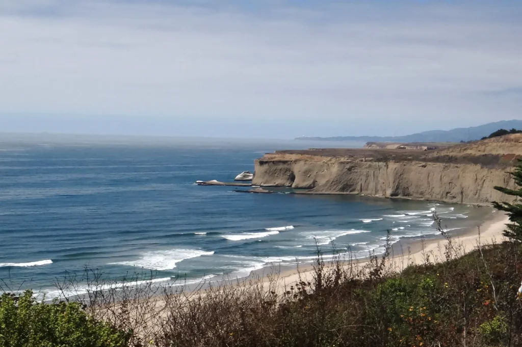
- 6. Sandspit Beach (Morro Bay) — Paddle to Paradise
- 7. Cave Landing Beach (Avila) — The Rope Descent
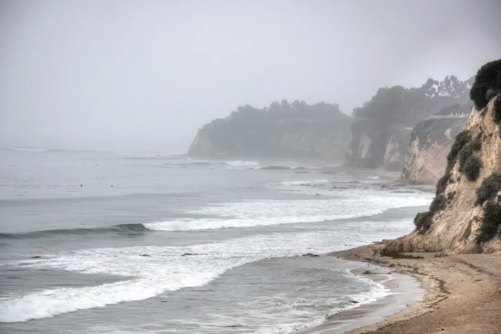
- 8. More Mesa Beach (Santa Barbara) — The 300-Acre Secret
- 9. Little Dume Beach (Malibu) — Tide or Nothing
- 10. Tunitas Creek Beach — Currently Under Construction
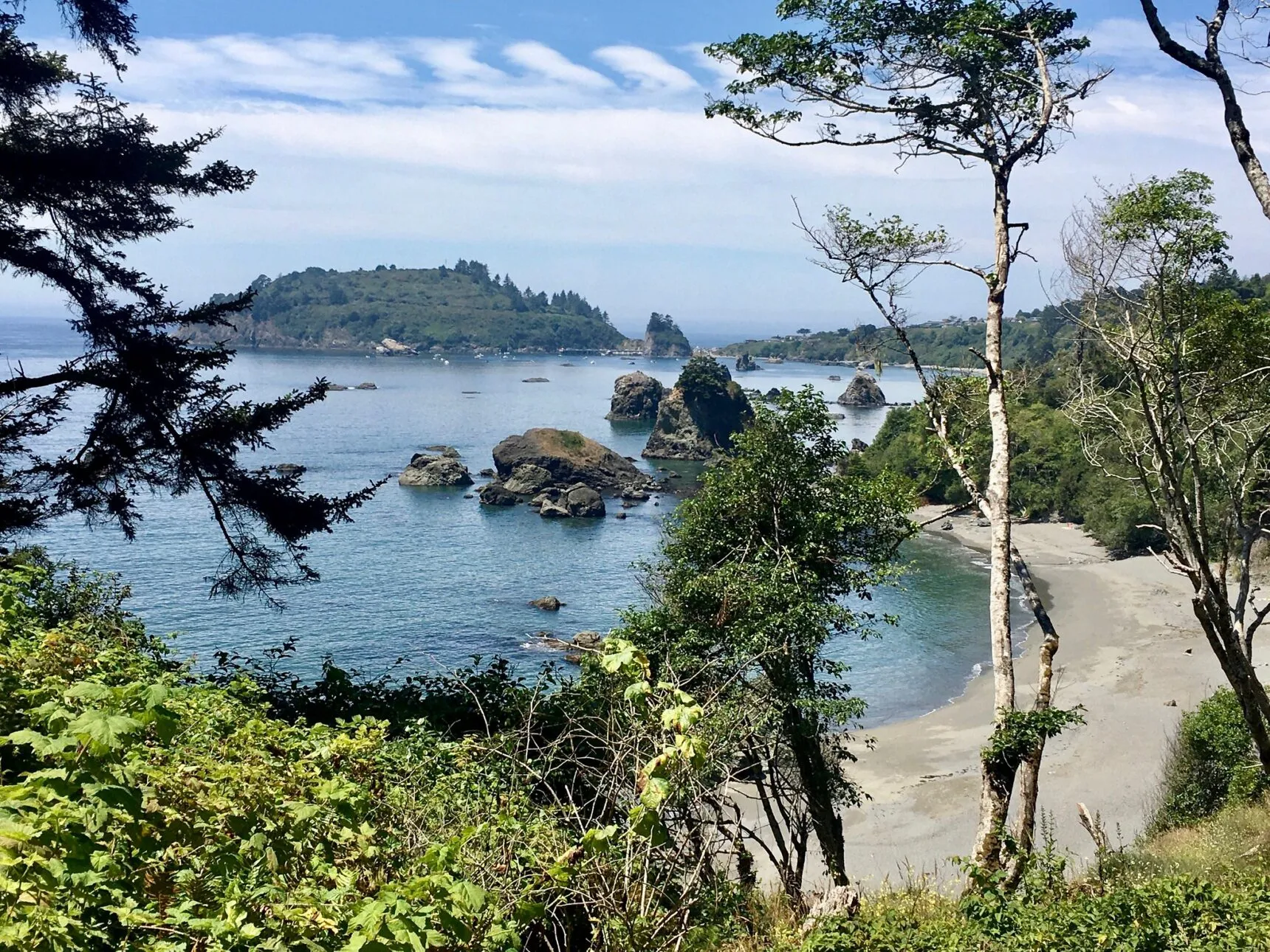
- 11. College Cove (Trinidad) — Trail Repairs Pending
- 12. Abalone Cove (Palos Verdes) — Landslide Zone
- Frequently Asked Questions About California’s Hidden Beaches
- How do I know if a beach requires specific tide conditions?
- What’s the best strategy for finding parking at these secret beaches?
- Are dogs allowed at these hidden beaches?
- Which beaches are currently closed or have access restrictions?
- Is it worth visiting these beaches if I’m not an experienced hiker?
- Your Secret Beach Adventure Awaits
Why California’s Secret Beaches Matter More Than Ever
Every local knows the frustration: your favorite beach from five years ago now has a two-hour parking wait and looks like Coachella relocated to sand.
These 12 beaches survive because they demand something Instagram influencers won’t give: actual effort, tide chart knowledge, and occasionally, a tolerance for rope climbing.
Quick Local Intel
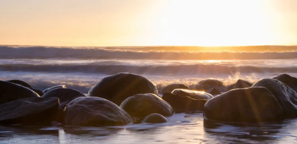
1. Hidden Beach (Klamath) — The Redwood Secret
Just after the Yurok Loop trail forks left, locals know to watch for an unmarked path breaking right—miss it and you’ll wonder why everyone calls this beach “hidden.”
The final descent through coastal spruce rewards you with dark sand, massive driftwood sculptures, and sea stacks crowned with defiant trees growing from solid rock.
Details for Hidden Beach
2. Bowling Ball Beach (Point Arena) — The Tide Clock Rules
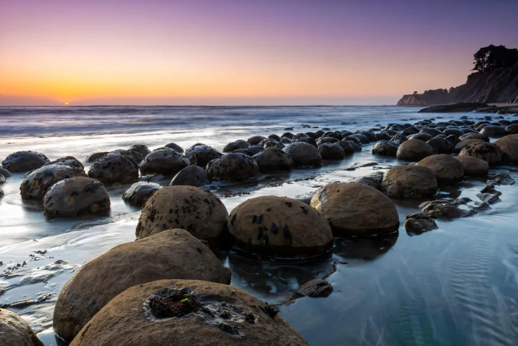
Arrive at anything above +1.0 feet tide and you’ll see nothing but waves—the spherical sandstone boulders that give this beach its name only emerge when the ocean retreats.
The tiny highway pullout at mile marker 11.41 fits maybe six cars, but locals know to park facing south only—U-turns here have claimed more than bumpers.
Details for Bowling Ball Beach
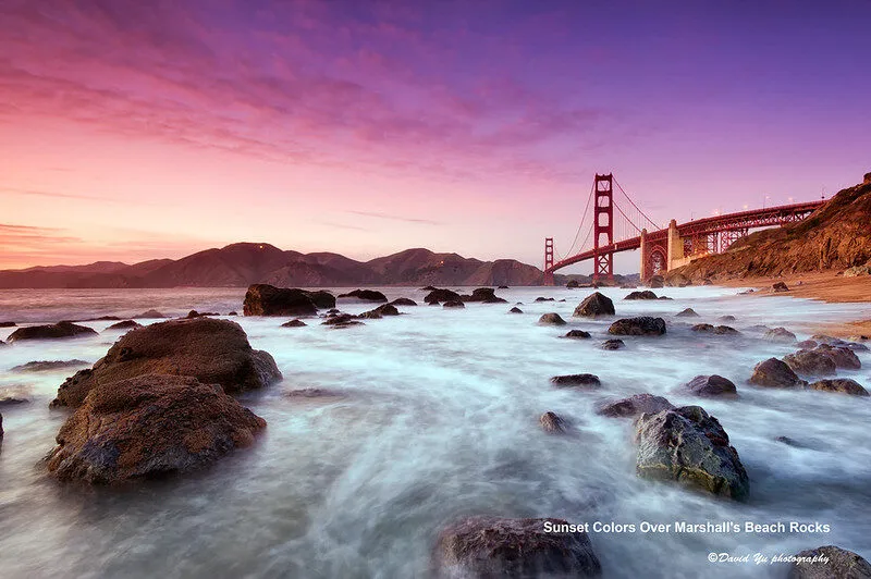
3. Marshall’s Beach (Point Reyes) — The Kayaker’s Secret
While hikers face a 350-foot climb back up from this Tomales Bay gem, boaters can actually camp overnight—the only Point Reyes beach where paddling earns you sleeping rights.
The 2.6-mile dirt road to the trailhead keeps crowds thin, but the 15-car lot fills by 10am weekends when locals launch from Nick’s Cove for the crossing.
Details for Marshall’s Beach
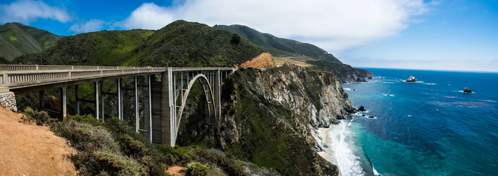
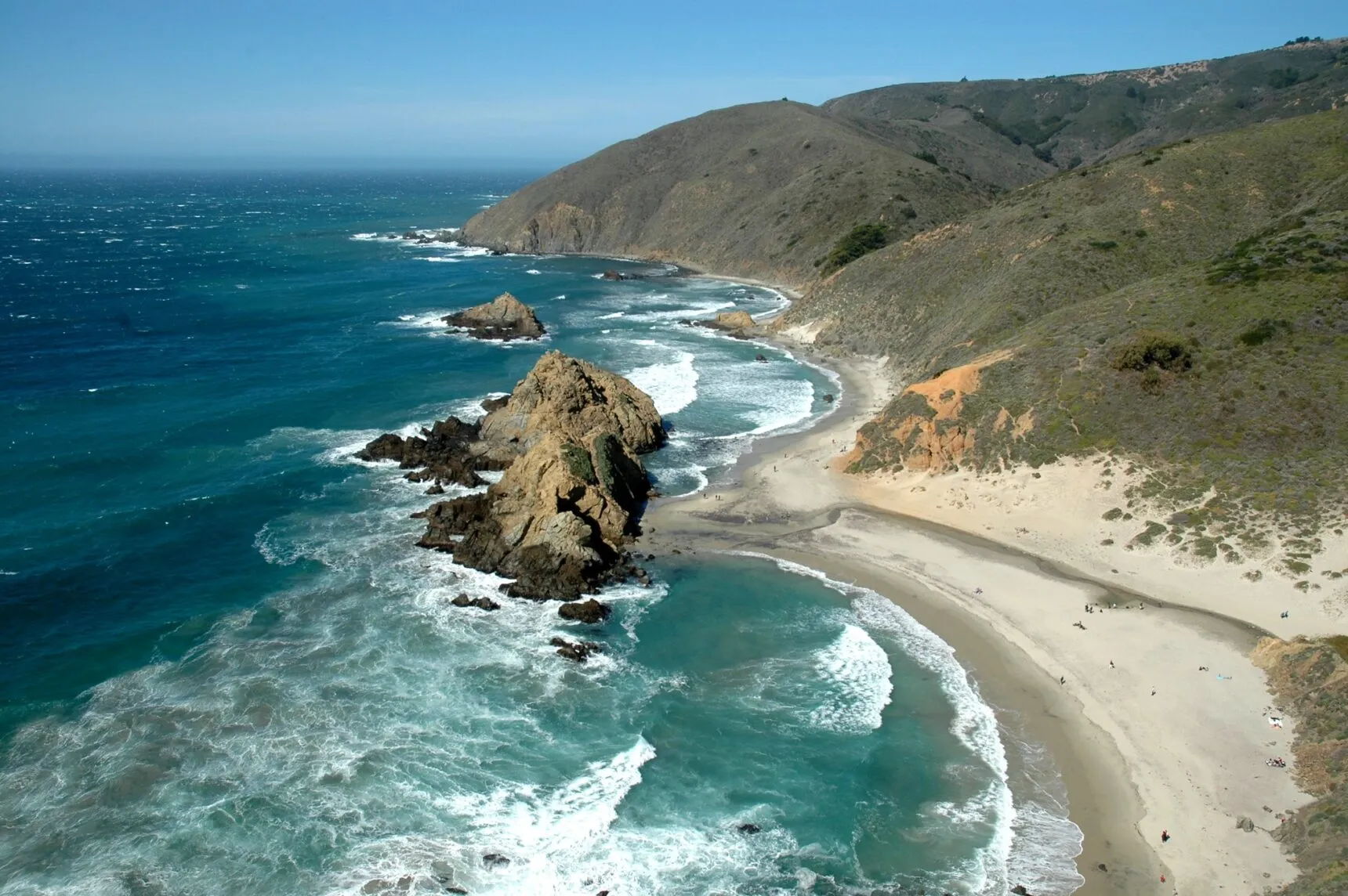
4. Garrapata Beach & Calla Lily Valley — Big Sur’s Open Secret
From January through April, Gate 18’s ravine explodes with thousands of wild calla lilies—Instagram discovered it, but the tiny pullout still limits crowds to early arrivals.
Locals skip the main beach at Gate 19 for the quieter coves at Gates 8-12, where whale watching from the bluffs beats any tour boat from December to April.
Details for Garrapata Beach
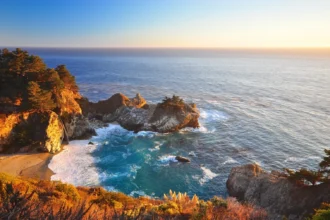
5. Pfeiffer Beach — Purple Sand & The Keyhole
The unmarked turnoff at a yellow “Narrow Road” sign filters out everyone who didn’t do their homework—then the two-mile gauntlet of Sycamore Canyon Road eliminates the rest.
Mid-January sunsets shoot golden beams through Keyhole Arch like nature’s spotlight, while manganese garnet creates purple sand streaks that shift with every storm.
Details for Pfeiffer Beach
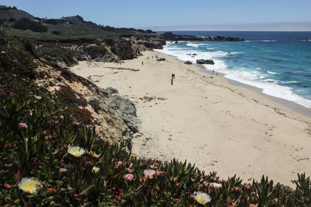
6. Sandspit Beach (Morro Bay) — Paddle to Paradise
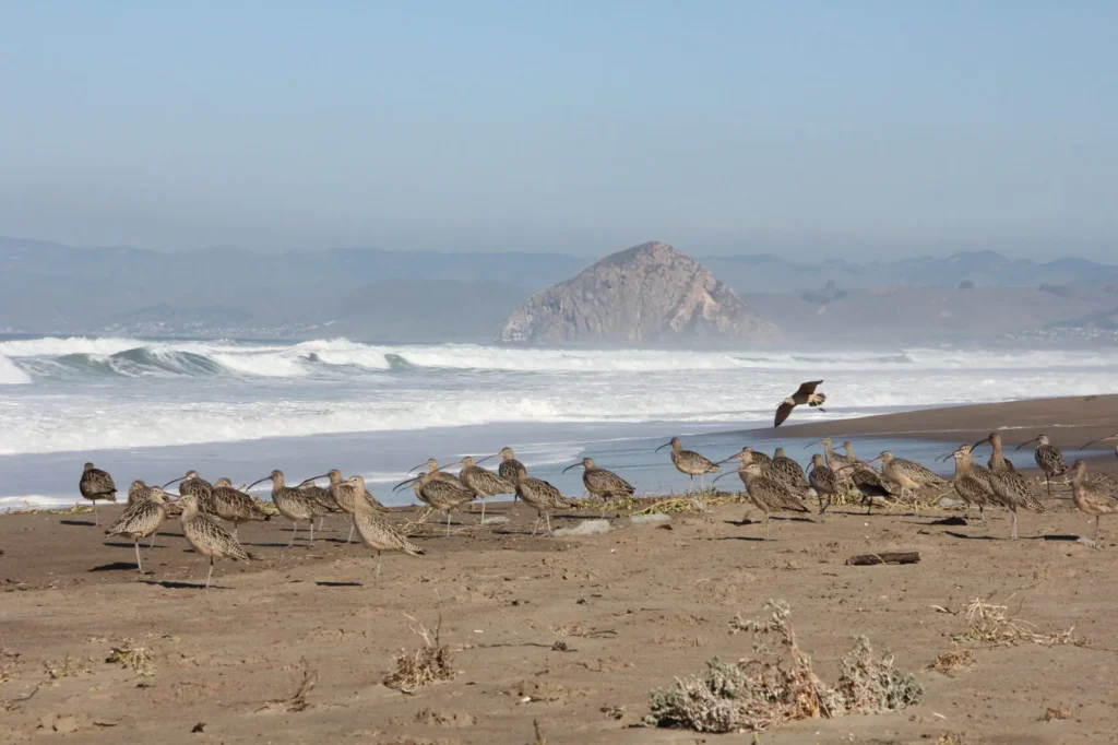
This five-mile peninsula of pristine dunes accepts no cars—your kayak or paddleboard becomes the admission ticket to California’s most exclusive beach experience.
Sea otters escort your crossing while harbor seals judge your paddle form, but avoid the harbor mouth where currents have humbled many overconfident kayakers.
Details for Sandspit Beach
7. Cave Landing Beach (Avila) — The Rope Descent
Below Pirate’s Cove, a fixed rope maintained by unknown locals offers the only way down—test it thoroughly because nobody’s coming if it fails halfway down the cliff.
Low tide reveals sea caves and a natural arch to the west, but watch that tide chart religiously—rising water cuts off the rope base, trapping the unprepared.
Details for Cave Landing Beach
8. More Mesa Beach (Santa Barbara) — The 300-Acre Secret
Park on Vieja Drive and walk to Mockingbird Lane’s dead end—residents guard this trailhead knowledge because it keeps their beach feeling like 1995 Santa Barbara.
The 0.75-mile mesa walk ends at stairs tucked in trees, where locals know west of the stairs is clothing-optional territory while east stays suited.
Details for More Mesa Beach


9. Little Dume Beach (Malibu) — Tide or Nothing
No parking, no trail, no access except walking a mile from Point Dume at low tide—when the ocean rises, it erases the only path to Malibu’s most exclusive sand.
Residents on Whitesands Place hold keys to the private gate, but public visitors time their trek with tide charts or risk swimming back around the rocks.
Details for Little Dume Beach
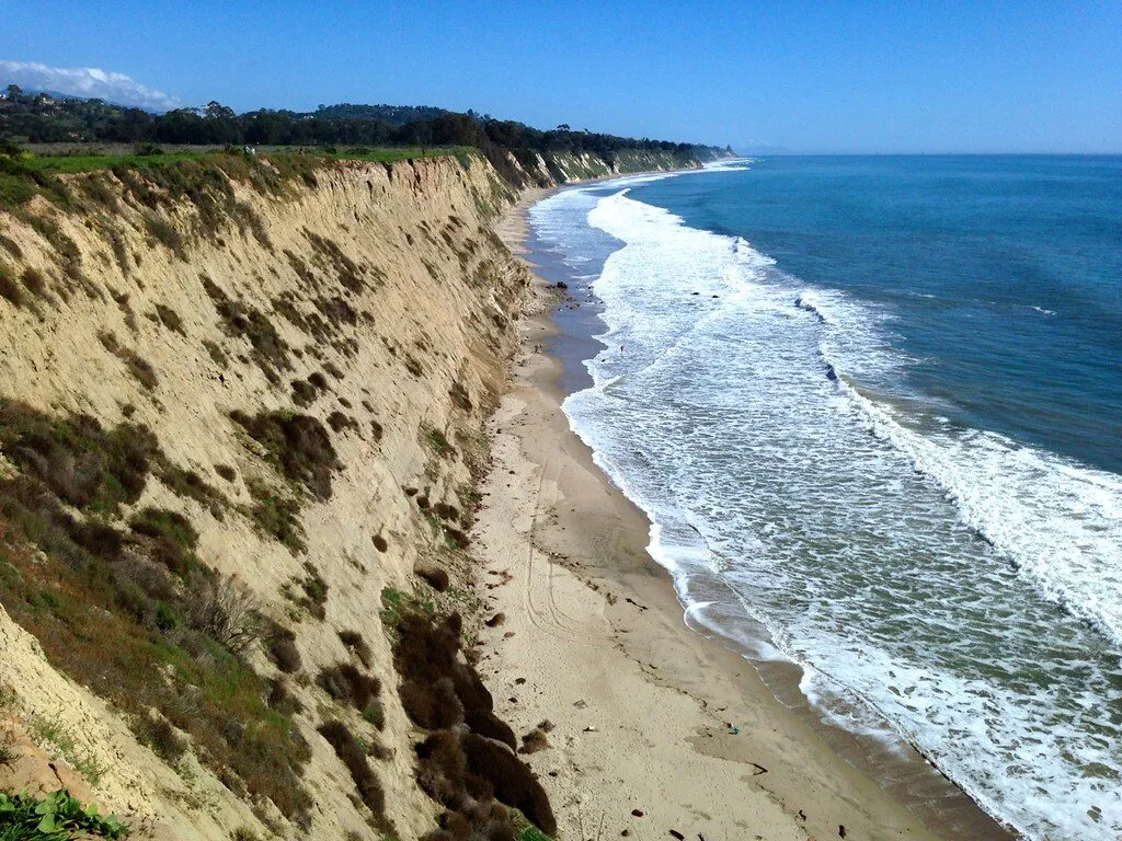
10. Tunitas Creek Beach — Currently Under Construction
For decades locals scrambled down eroding cliffs to reach this sandstone paradise—now San Mateo County is building proper trails, with summer 2026 reopening expected.
When Don Horsley Park opens, expect new rules: no dogs, no camping, no alcohol—the price of transforming a wild local secret into managed public space.
Details for Tunitas Creek Beach
11. College Cove (Trinidad) — Trail Repairs Pending
April 2024 erosion closed the steep trail to this clothing-optional haven with its massive sea arch—locals check parks.ca.gov obsessively for reopening announcements.
When accessible, the northernmost Trinidad State Beach lot provides direct access, avoiding the main entrance crowds while offering Pewetole Island’s dramatic blowhole views.
Details for College Cove


12. Abalone Cove (Palos Verdes) — Landslide Zone
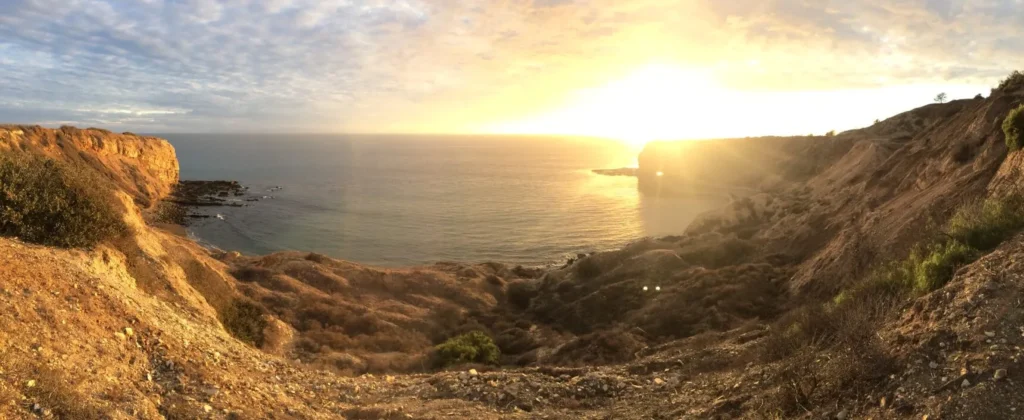
Southern California’s premier tide pools sit below cliffs that moved seven feet in 15 months—all beach trails closed indefinitely while the Portuguese Bend slide accelerates.
The upper park stays open 9am-4pm for clifftop views, but reaching the octopi and starfish below must wait until geologists declare the earth has stopped its restless shifting.
Details for Abalone Cove
Frequently Asked Questions About California’s Hidden Beaches
How do I know if a beach requires specific tide conditions?
Check NOAA tide charts for the specific location—beaches like Bowling Ball and Cave Landing are completely inaccessible at high tide. Aim for tides below +1.0 feet, ideally negative tides during new or full moons.
What’s the best strategy for finding parking at these secret beaches?
Arrive before 10am on weekends or visit midweek. For beaches like Pfeiffer or Little Dume, there’s no secret spot—just early arrival. Street parking requires strict attention to signs as locals call parking enforcement frequently.
Are dogs allowed at these hidden beaches?
Most are in state or national parks where dogs are prohibited. More Mesa allows leashed dogs on trails but not beach. Marshall’s Beach allows dogs arriving by boat only. Always verify current rules as they change seasonally.
Which beaches are currently closed or have access restrictions?
As of 2025: Tunitas Creek (reopens 2026), College Cove (trail repairs), Abalone Cove (landslide danger), and Lechuza Beach (fire emergency). Always check official park websites before driving out—conditions change weekly.
Is it worth visiting these beaches if I’m not an experienced hiker?
Several require minimal effort: More Mesa is a flat walk, Garrapata has easy access points, and Marshall’s Beach trail is straightforward (though uphill return). Skip Cave Landing’s rope descent and Usal’s six-mile dirt road unless you’re prepared.
Your Secret Beach Adventure Awaits
These 12 beaches prove California’s best shores aren’t on any tourist map—they’re earned through tide charts, early alarms, and occasionally, a good grip strength for rope descents.
Save this guide, check those closures, and remember: the effort that keeps others away is exactly what makes these beaches worth finding. See you at low tide.


